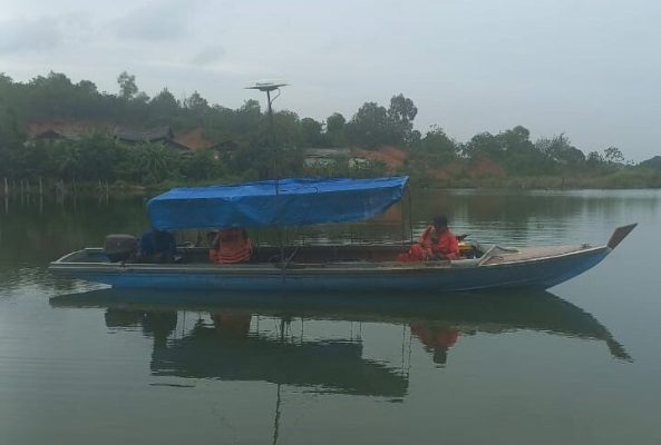
We provide hydrographic survey, underwater inspection, navigation and positioning services. By implementing the latest technology and modern software, we deliver high quality results, minimize minimum downtime, and reduce the work costs. Our scope of specialization is as follows:
Topographic surveys
Bathymetric surveys
Side scan sonar surveys
Navigation and positioning for buoys and anchor
Pipeline/cable inspection
Underwater inspection (diver, photo, video)
Tide, wave, & current measurement
Ultrasonic Thickness Gauge measurement
Georadar/GPR & resistivity survey
LiDAR & UAV photogrammetry
Our Approach
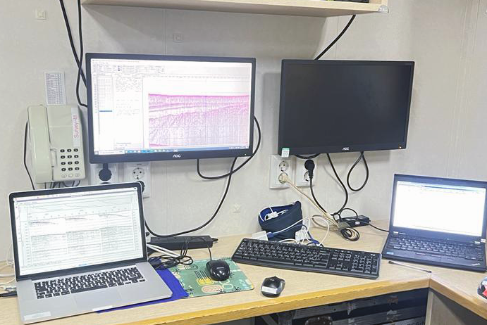
Gema Sarana Teknik recognises the importance of having talent in the business to drive growth and innovation. We develop data processing work in the office, by accessing the server or with a fully mobilised system and personnel, including the following scope of works.
Workstation processing and interpretation of all hydrography datasets including: – Bathymetry – Side Scan Sonar – Sub-Bottom Profiler – Magnetometer / Gradiometer – High Resolution Seismic
 EN
 ID